'Julian' no longer a threat despite its reentry, says Pagasa
MANILA, Philippines — Typhoon «Julian» will no longer have a direct effect over the country even if it reenters the Philippine Area of Responsibility (PAR) either Wednesday night or early Thursday morning, according to the state weather bureau.
Administrator Nathaniel Servando of the Philippine Atmospheric Geophysical and Astronomical Services Administration (Pagasa) told The Manila Times that only the province of Batanes would be slightly affected «since it is relatively close to Taiwan.»
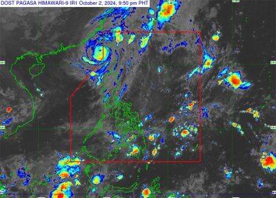
In its 5 p.m. bulletin, Pagasa said only Babuyan Islands (Calayan Island, Dalupiri Island and Fuga Island) and the northern and western portions of Ilocos Norte (Bangui, Burgos and Pagudpud) remained under Signal No. 1.
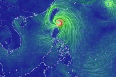
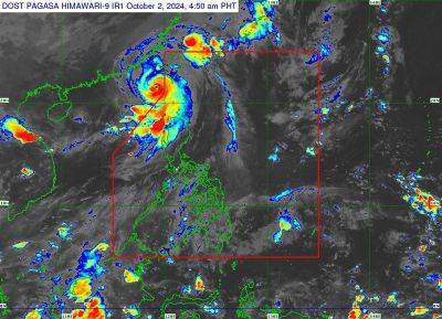
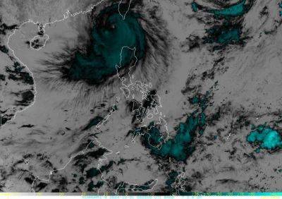
Estimated over west-northwest of Itbayat, Batanes (outside PAR), Julian is moving northward at 15 kilometers per hour (kph) with maximum sustained winds of 165kph near the center and gustiness of up to 205kph, it added.
Forecast to turn northeastward toward the southwestern coast of Taiwan, it is expected to make landfall Thursday morning after entering the northwestern boundary of PAR.
«Despite the reentry, no direct effect is anticipated over the country except for Batanes which is relatively close to Taiwan,» the state-run weather agency reiterated.
Julian will eventually exit PAR either Friday night or early Saturday morning, Pagasa said.