LPA inside PAR may become typhoon this week
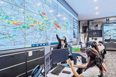
MANILA, Philippines — The low-pressure area (LPA) inside the Philippine area of responsibility (PAR) will be named Ferdie once it develops into a tropical cyclone, according to the Philippine Atmospheric, Geophysical and Astronomical Services Administration.
At a briefing, PAGASA weather specialist Obet Badrina yesterday said the LPA was last located 1,015 kilometers east of Northern Luzon.
“We continue to monitor the LPA. Based on the latest data, we discount the possibility that it will become a typhoon as it moves westward and at present, there is still a small chance that it will make landfall,” Badrina said.
Once it turns into a typhoon, it will be the sixth cyclone to enter the country this year.
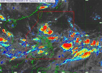
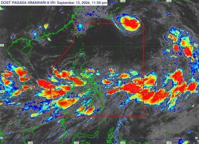
Badrina added that the LPA outside PAR was located 2,470 km east of Eastern Visayas.
“Based on our latest data, it is also possible that it will turn into a typhoon and we don’t discount the possibility that it will enter PAR,” he said.
Badrina said the LPA is moving westward and will enhance the southwest monsoon. “By Thursday and Friday, rains are expected in the Visayas and Mindanao.”
According to Badrina, the southwest monsoon continues to affect a big portion of Luzon.
“It will bring rains especially in the Ilocos Region, Cordillera Administrative Region and Cagayan Valley region,” he said.
Badrina added that the southwest monsoon will also affect areas in Northern Luzon.
“For the rest of Luzon, including Metro Manila, we expect cloudy skies and expect isolated rainshowers and thunderstorms,” he said.