‘Mother of All Philippine Maps’ finds new home
MANILA, Philippines — It was described as the smoking gun versus China’s nine-dash line claim and sealed the landmark victory of the Philippines in its arbitration case on the South China Sea.
The 1734 Murillo Velarde Map, known as the “Mother of All Philippine Maps,” provided historical proof that the Philippines has sovereignty over areas claimed by China.
Soon, the public can finally view the original map up close – free of charge.
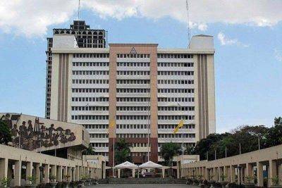
The National Library of the Philippines (NLP) on Friday inaugurated its Permanent Gallery, which will be the permanent home of the 1734 Murillo Velarde Map, described as the first scientific map of the Philippines.
“After years of navigating budget proposals, approvals, intricate architectural designs and competitive bidding processes – interrupted by the global pandemic and subsequent budget reallocations – leading to the commencement of actual construction and meticulous refurbishment, the Permanent Gallery at the National Library is finally ready to welcome the public this September,” NLP director Cesar Gilbert Adriano said in a statement.
“This journey stands as a testament to dedication and perseverance, bringing a significant cultural treasure to the forefront of public access and fulfilling the intent of Mr. Mel Velarde and the Philippine government to preserve and showcase the nation’s rich cultural heritage,” Adriano added.
Prepared by Spanish Jesuit Friar Pedro Murillo Velarde – together with Filipinos Francisco Suarez, who drew the map, and Nicolas dela Cruz Bagay, who engraved it – the 1734 Murillo Velarde Map was an official map that showed Spain’s territories in the Philippines.
Among those it featured were Scarborough Shoal (named Panacot) and the Spratly Islands (named Los Bajos de Paragua).
The map was included in the South China Sea arbitration case and was used by the Philippines to dispute and invalidate China’s nine-dash line claim.
The map was donated to the Philippine government in 2017 by technology entrepreneur and educator Mel Velasco Velarde, chairman of the Asian Institute of Journalism and Communication and the NOW Group.
Velarde, whose last name notably shares the name of the 1734 map, won it at the