Philippines, Taiwan, Malaysia reject China's latest South China Sea map
The Philippines, Malaysia, Taiwan and Vietnam have rejected as baseless a map released by China that denotes its claims to sovereignty including in the South China Sea and which Beijing said on Thursday should be viewed rationally and objectively.
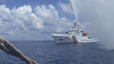
China released the map on Monday of its famous U-shaped line covering about 90% of the South China Sea, a source of many of the disputes in one of the world's most contested waterways, where more than $3 trillion of trade passes each year.
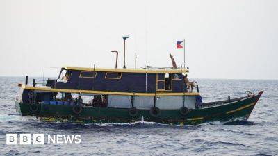
The Philippines called on China on Thursday "to act responsibly and abide by its obligations" under international law and a 2016 arbitral ruling that had declared the line had no legal grounds.
Malaysia said it had filed a diplomatic protest over the map.
China says the line is based on its historic maps. It was not immediately clear whether the latest map denotes any new claim to territory.
China's U-shaped line loops as far as 1,500 km (932 miles) south of its Hainan island and cuts into the exclusive economic zones (EEZs) of Vietnam, the Philippines, Malaysia, Brunei and Indonesia.
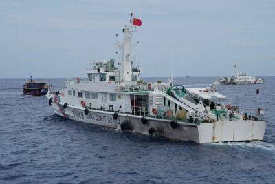
"This latest attempt to legitimise China's purported sovereignty and jurisdiction over Philippine features and maritime zones has no basis under international law," the Philippine Foreign Ministry said.
Its Malaysian counterpart in a statement said the new map holds no binding authority over Malaysia, which "also views the South China Sea as a complex and sensitive matter".
The map was different to a narrower version submitted by China to the United Nations in 2009 of the South China Sea that included its so-called "nine-dash line".
The latest map was of a broader geographical area and had a line with 10 dashes that included democratically governed
Related News