Signal No. 3 still up in northern Luzon as 'Kristine' slows down
MANILA, Philippines — Signal No. 3 remains hoisted in several areas across northern Luzon as Severe Tropical Storm Kristine (international name: Trami) gradually decelerates while moving northwestward.
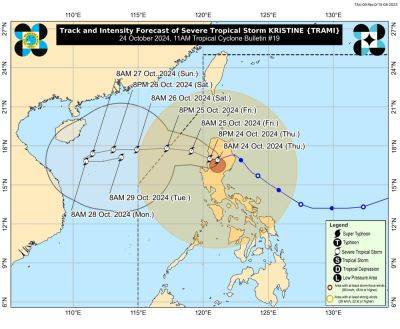
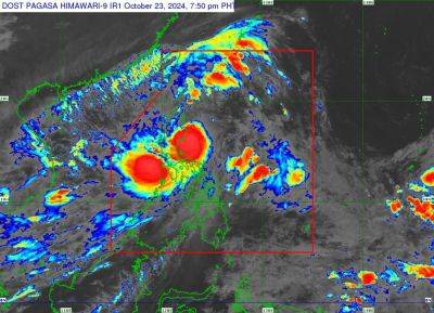
PAGASA reported that Kristine made landfall over Divilacan, Isabela at 12:30 a.m. on Thursday, October 24.
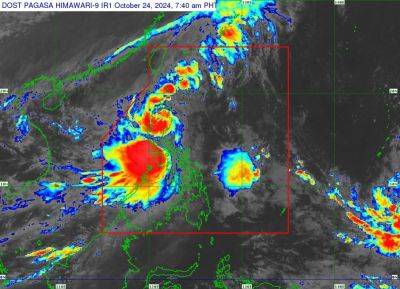
As of 4 a.m., Kristine was spotted in the vicinity of Tumauini, Isabela, packing maximum sustained winds of 95 kilometers per hour and gustiness of up to 160 kph.
Moving at 15 kph, Kristine continues its track over northern Luzon and is expected to exit the Philippine area of responsibility (PAR) by Friday afternoon.
The following areas are under tropical cyclone wind signals:
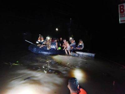
Winds between 89 kph to 117 kph may be expected in at least 18 hours. Residents of areas under Signal No. 3 could experience moderate to significant impacts from strong winds.
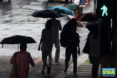
Residents of areas under Signal No. 1 should anticipate wind speeds between 39 and 61 kph, posing a minor to moderate threat to life and property.
Luzon
Visayas
Residents of areas under Signal No. 1 could experience minimal to minor impacts from strong winds, ranging from 39 to 61 kph.
Strong to gale-force gusts are forecasted due to the storm's circulation and the influence of northeasterly windflow over the following areas:
PAGASA said that several areas including Ilocos Norte, Ilocos Sur, La Union, Pangasinan, Cagayan, Isabela, Aurora, Zambales and Quezon could experience storm surges reaching up to 3.0 meters above normal tide levels.
It also warned mariners of hazardous sea conditions and risky travel for small vessels, including motorbancas in the following areas:
Kristine is expected to cross northern Luzon on Thursday, weakening slightly due to land interaction.
However, PAGASA said that it may regain strength once it moves over the West Philippine Sea.
Kristine is expected to exit PAR by Friday afternoon.
Related News