After 'Kristine,' 2 LPAs hovering near PAR
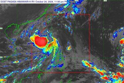
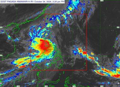
MANILA, Philippines — The state weather bureau is now monitoring two low-pressure areas (LPA) hovering outside the Philippine area of responsibility (PAR), with one likely to develop into a tropical depression within the next 24 hours.
The second LPA’s current location is estimated to be 2,520 kilometers east of Eastern Visayas, said Pagasa on Thursday. The chances of the second LPA developing into a tropical depression within the next 24 hours is low, said the state weather bureau.
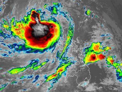
Meanwhile, the center of Severe Tropical Storm Kristine is now over the coastal waters of Santa Lucia, Ilocos Sur. It currently has maximum sustained winds of 95 kilometers per hour (kph) and gustiness of up to 145 kph.
While Kristine is on its way out of the PAR by Friday, Pagasa said there is a chance that it will recurve back towards the West Philippine Sea, within the area of responsibility by Sunday or Monday.
“Kristine is forecast to re-intensify as it moves over the West Philippine Sea. While it is likely that the tropical cyclone will remain a severe tropical storm in the next five days, the chance for it to be upgraded into a typhoon is not ruled out,” Pagasa said.
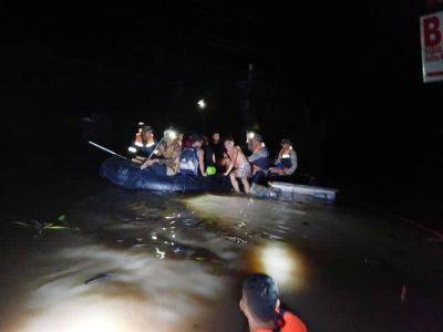
In light of Kristine, Pagasa has also issued a heavy rainfall warning in several provinces:
Red (Serious flooding)
Orange (Threatening flood)
Yellow (Flooding in flood prone areas)
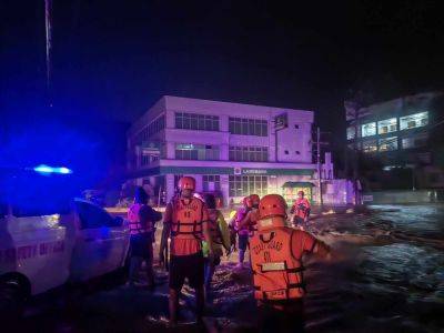
Pagasa also issued the following tropical cyclone wind signals (TCWS) over the following areas:
Signal No. 3
Signal No. 2
Signal No. 3
Related News