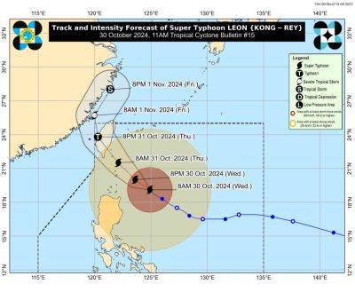
Leon becomes Super Typhoon
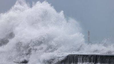
MANILA, Philippines — The Philippine Atmospheric, Geophysical and Astronomical Services Administration (PAGASA) warned of a high risk of storm surge in Northern Luzon as Super Typhoon Leon passes over the Philippine Sea.
Tropical cyclone wind signal No. 4 has been raised over Batanes, with winds greater than 118 to 184 kilometers per hour expected.
PAGASA said the storm surge could be more than three meters high in the provinces of Batanes and Cagayan.
“There is a possibility of life-threatening inundation from rising sea water along with high waves in the low-lying coastal communities,” PAGASA said.
It warned of significant damage to communities in low-lying coastal areas in Basco, Itbayat, Ivana, Mahatao, Sabtang, Uyugan in Batanes, as well as in Calayan in Cagayan.
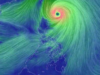
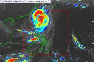
PAGASA said the hoisting of wind signal No. 5 has not been ruled out. Leon (Kong-Rey) was forecast to make close approach or make landfall in Batanes last night or this morning and will be near or at peak intensity during its closest approach.
Signal No. 3 was hoisted over the eastern portion of Babuyan Islands and the northeastern portion of mainland Cagayan.
Meanwhile, signal No.2 was raised over the rest of Babuyan Islands, the rest of mainland Cagayan, northern portion of Isabela, Apayao, Kalinga, northern and eastern portions of Abra and the eastern portion of Mountain Province (Paracelis) and Ilocos Norte.
TCWS No. 1 was raised over the rest of Isabela, Quirino, Nueva Vizcaya, the rest of Mountain Province, Ifugao, Benguet, the rest of Abra, Ilocos Sur, La Union, Pangasinan, Nueva Ecija, Aurora and northeastern Tarlac.
Leon was monitored 215 km east southeast of Basco, Batanes as of 4 p.m. and was moving northwestward at 20 kph, carrying maximum sustained winds of 185 kph near the center and gustiness of up to 230 kph.
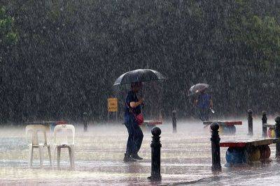
Leon is forecast to make landfall in Taiwan this afternoon and may exit the Philippine area of responsibility by tonight or early Friday morning. The trough of Leon may bring scattered rains over Metro Manila, the Visayas and the rest of Luzon.
Mindanao may see isolated rains due to localized thunderstorms.
President Marcos yesterday called on local governments to prepare for


