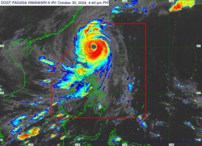
'Leon' weakens into typhoon as it approaches Taiwan
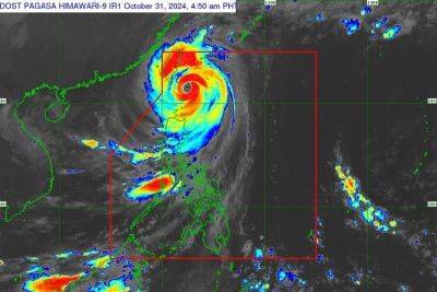
MANILA, Philippines — Cyclone Leon has weakened from a super typhoon to a typhoon, state weather bureau PAGASA said on Thursday, October 31.
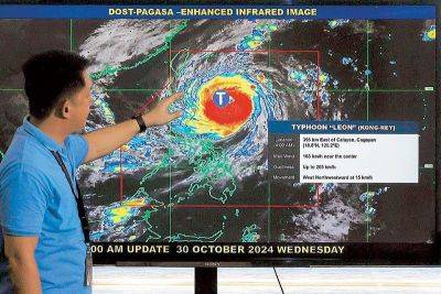
Based on its latest cyclone bulletin, Leon has maximum sustained winds of 175 kilometers per hour near the center and gustiness of up to 215 kph.
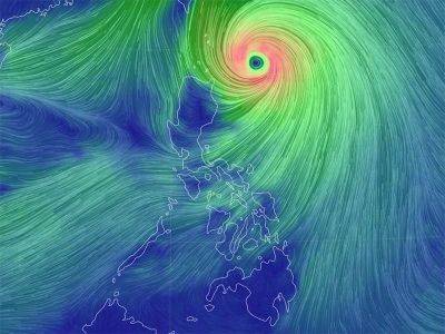
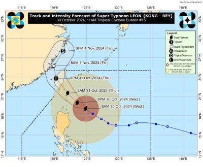
Leon is located 155 kilometers north of Itbayat, Batanes. It is moving northwest towards Taiwan at 25 kilometers per hour.
The following tropical cyclone wind signals (TCWS) remain hoisted in several areas:
TCWS No. 3
TCWS No. 2
TCWS No. 1
Leon is set to exit the Philippine area of responsibility by Thursday night or Friday morning.
“Leon is forecast to make landfall along the eastern coast of Taiwan this afternoon. After crossing the landmass of Taiwan, Leon will then turn northeastward over Taiwan Strait towards the East China Sea and exit the Philippine Area of Responsibility tonight or tomorrow early morning (November 1),” PAGASA said.
A gale warning remains over the Northern Luzon seaboard and and the eastern seaboards of Central Luzon.
PAGASA forecasts rough or high seas over the following areas:
“Sea travel is risky for all types or tonnage of vessels. All mariners must remain in port or, if underway, seek shelter or safe harbor as soon as possible until winds and waves subside,” PAGASA said.
Meanwhile, the state weather bureau said that the following areas will have rough waves:
“Mariners of small seacrafts, including all types of motorbancas, are advised not to venture out to sea under these conditions, especially if inexperienced or operating ill-equipped vessels,” PAGASA said.


