'LPA may enter PAR by weekend'
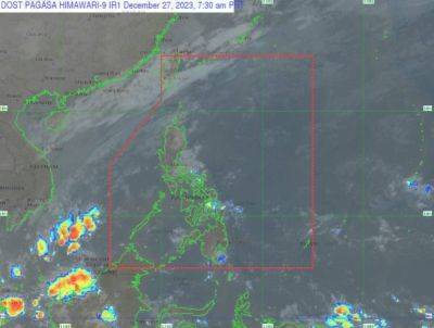
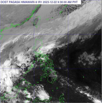
THE Philippine Atmospheric Geophysical and Astronomical Services Administration (Pagasa) said Wednesday it was closely monitoring the cloud bands that might enter the Philippine Area of Responsibility (PAR) as a low pressure area (LPA) over the weekend.
Pagasa weather specialist Benison Estareja said the cloud formations were spotted somewhere over the central Pacific Ocean and would likely develop into an LPA within 24 hours.
«Our forecast indicated that we have no weather disturbance entering PAR until Friday,» he said.
«But the cloud clusters outside PAR may develop into an LPA and enter the country probably over the weekend,» Estareja added.
Once inside, it is expected to dump rain, especially in areas over the Visayas and Mindanao, the state-run weather agency's weather advisory indicated.
In the meantime, Pagasa said generally fair weather conditions will continue to be experienced in most parts of the country, with the northeast monsoon, locally known as amihan, affecting Northern and Central Luzon.
But the easterlies, along with the localized thunderstorms, are bringing partly cloudy to overcast skies with isolated rain showers or thunderstorms, especially in the afternoon or at night over Metro Manila and the rest of the country.