Signal No. 1 hoisted over parts of Luzon, Visayas due to 'Enteng'
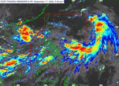
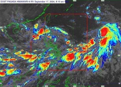
MANILA, Philippines — State weather bureau PAGASA raised Signal No. 1 in several areas in Luzon and Visayas due to Tropical Depression Enteng.
In its advisory on Sunday afternoon, September 1, Enteng was spotted 100 kilometers northeast of Catarman, northern Samar or 115 km east southeast of Virac, Catanduanes.
Moving northwestward at 15 kilometers per hour, Enteng was packing peak winds of 55 kilometers an hour and gusts of up to 70 kph.
The following areas are under Tropical Cyclone Wind Signal No. 1:
Luzon
Visayas
Below are PAGASA's current forecast accumulated rainfall in several regions due to Tropical Depression Enteng:
Sunday to Monday afternoon
Monday afternoon to Tuesday afternoon
Tuesday afternoon to Wednesday afternoon
PAGASA warned that areas with elevated or mountainous terrain may experience higher rainfall, leading to an increased risk of flooding and landslides, especially in locations that have already seen significant rainfall in recent days.
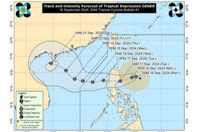
Enteng is projected to move northwestward on Sunday before turning northward on Monday, with potential landfall over the Bicol Region-Eastern Visayas area within the next 48 hours, according to the state weather bureau.
The tropical depression is expected to intensify, possibly reaching tropical storm status on Monday and severe tropical storm category on Thursday, September 5.
Related News