Signal No. 1 up in Eastern Samar, parts of Mindanao due to Tropical Depression 'Aghon'
MANILA, Philippines — Signal No. 1 is up over Eastern Samar in Visayas and in Dinagat Islands, Siargao Islands, and Bucas Grande Islands in Mindanao due to Tropical Depression «Aghon,» the first storm to him the country in 2024, the state-run weather agency said on Friday.
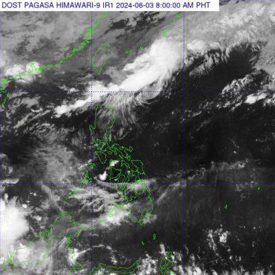
In an early bulletin, the Philippine Atmospheric Geophysical and Astronomical Services Administration (Pagasa) said Aghon was estimated some 340 kilometers east of Hinatuan, Surigao del Sur while moving west-northwestward at 30 kilometers per hour (kph).
It has maximum sustained winds of 45kph near the center and gustiness of up to 55kph.
Mostly affected by the weather disturbance are areas in Eastern Samar and Dinagat Islands where rains with gusty winds would be experienced, Pagasa said.
«Although there is a minimal to minor threat to lives and properties due to strong winds, however, possible flooding or landslides due to moderate to heavy rains could happen,» the same bulletin said.
Aghon is also bringing cloudy skies with scattered rain showers and thunderstorms over Bicol Region, Northern Mindanao, Davao Region and the rest of Visayas and Caraga, the state-run weather agency said.
Likely to move generally northwestward or north-northwestward until Saturday while slowly intensifying, the tropical depressions forecast to make a close approach or make landfall in the vicinity of Eastern Samar Saturday morning.
Advertisement«Afterwards, Aghon will pass north-northwestward over Eastern Visayas, then emerge over the waters off the east coast of Bicol Region Saturday afternoon or evening as a tropical storm,» Pagasa said.
On Sunday, it would begin re-curving generally northeastward or north-northeastward over the waters east of Luzon while starting to continuously intensify, the state weather bureau said.
Current forecast scenario would show intensification into a severe tropical storm by mid Sunday and into a typhoon by Tuesday, it added.
Meanwhile, another weather system – easterlies- is affecting Metro Manila and the rest of the country where partly cloudy to overcast skies with isolated downpours or thunderstorms could prevail.
Related News